Hiking Mount Kintoki in Hakone (Mt Ashigara): A Trail Guide
8 min readHakone might be most well-known for its volcanic hot springs (onsens) and views of Mount Fuji but don’t underestimate its hiking trails offering splendid views and historical and cultural sites....
The post Hiking Hakone’s Mount Kintoki: Fuji & Folklore appeared first on Bucketlist Bri.
Hakone might be most well-known for its volcanic hot springs (onsens) and views of Mount Fuji but don’t underestimate its hiking trails offering splendid views and historical and cultural sites.
One of the best hikes in Hakone is the summit trail to Mount Kintoki (金時山), also known as Mount Ashigara, which is Hakone’s highest peak and one of Japan’s 300 most famous mountains.
Disclaimer: This post contains affiliate links that may earn me a small commission should you decide to click through and make a valid purchase (at no extra cost to you). Thanks so much for your support!
As such, on this hike, you’ll get unrivaled views of Mt Fuji (on a clear day!).
After experiencing the tourist spots, the Mt Kintoki hike offers a much-needed respite from the crowds.
Now that I’ve done both, I can for sure say one of the best ways to experience Hakone is to hit the trails on foot.
Of course, there are several great hikes in the Hakone area of Fuji-Hakone-Izu National Park, each offering various terrain, views, and challenges.
But I’d say Mount Kintoki is one of the top choices for hiking in Hakone, due to its superb payoff at the summit (1212m).
The beautiful mountain is also tied to a Japanese folkloric tale about Kintarō, the heroic axe-wielding “Golden Boy” who befriends and does sumo with forest animals. 🐻
So if you are looking for a challenging yet rewarding hike in Hakone with a fun history, look no further than Mt Kintoki!
Read more below for details on the Mt Kintoki hike, including how to get to the trailhead plus what to know before you go.
show
Guide to the Mount Kintoki Hike in Hakone, Japan
What to Know Before You Hike Mt Kintoki
Mount Kintoki is a moderately challenging hike but one of the best in the Hakone area for views of Mt Fuji.
Here are some quick tips to keep in mind before you set off on the trail.
- 🚌 Buses to/from the trailhead aren’t frequent; check timetables
- ⏰ Hike time round-trip is about 2 hours for fit hikers; plan 3 hours or more for a more leisurely pace
- 🥾 2.4 miles out-and-back (via Shrine route) with an elevation gain of around 1500m
- 🐻 Be bear-wise! Carry a bell or spray
- 📱 Phone data was available along this hike, however, it would be wise to download an offline Google Map or use Alltrails
- 💴 Bring cash (yen) for food and drinks at the summit teahouse
- 🗑️ Pack out all of your trash (recommended to carry a plastic bag with you)
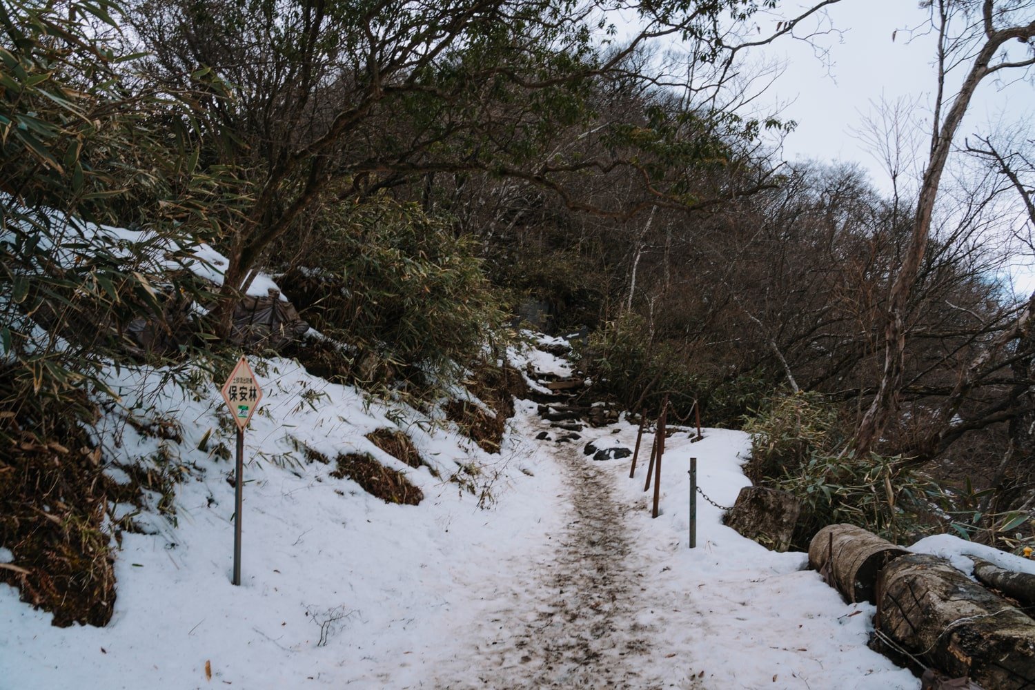
As for what to wear for the Kintoki hike, I recommend proper hiking shoes (carry microspikes for winter). The trail is well-marked but can become muddy and slippery or even icy after snow/rainfall.
In mid-February, I hiked in leggings, a base layer, a light sweater, and a light down puffer, and packed my Patagonia raincoat and a scarf which I wore on the way back down as it was raining and very windy.
Hiking Route Options for Mt Kintoki
There are several route options you can take to summit Mt Kintoki.
However, the route I took (and recommend) is the out-and-back trail starting and ending at the Kintoki Shrine.
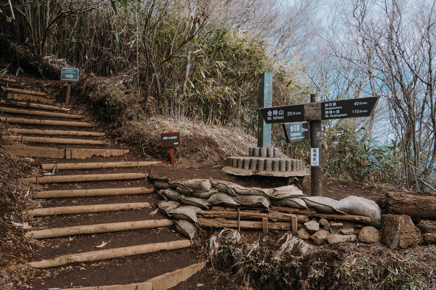
But, as you’ll see on a signpost roughly 20 minutes before reaching the Kintoki summit, there are alternate routes to go down.
So even if you start at the shrine, you can descend via another trail to reach Sengokuhara (40 minutes) or Mt. Myojingatake (110 minutes).
I also saw people summit Kintoki from the other side which I’m guessing is via the Otome Pass.
My trail guide will be mostly about the Mt Kintoki (Shrine) trail route!
How to Get to the Mt Kintoki Trailhead
The easiest way to reach the Mt Kintoki trailhead is by rental car.
However, if you don’t have a car, no sweat! Public transport will take you there with or without the Hakone Free Pass.
Here’s how to get to Mt Kintoki trailhead with public transportation from:
- Hakone-Yumato: T bus, transfer to M bus (30 minutes), or walk to trailhead from Sengoku
- Motohakone-ko: H bus, transfer to G bus (1 hour)
- Gora station: M line or G line direct (20 minutes)
- Miyanoshita: T bus, transfer to M, or take H and then G bus (30-40 minutes)
To get to the Mt Kintoki trailhead, you’ll need to take a bus to Kintoki-jinja-iriguchi bus stop.
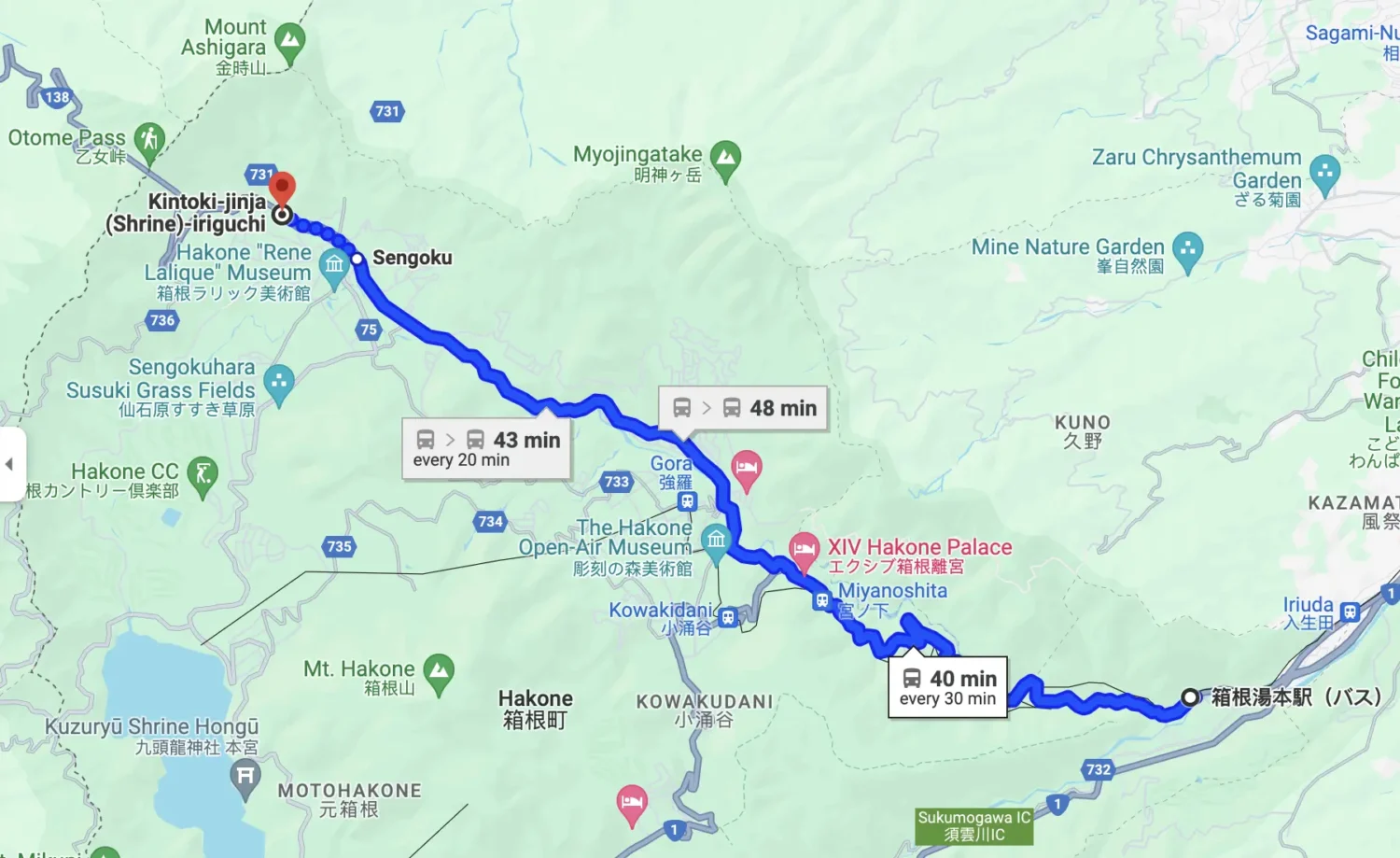
Buses depart on weekdays and weekends, but departure times will vary.
If you have the Hakone Free Pass (which you should get if you plan to spend two or more days in Hakone), then this route fare is included in your pass.
If you are staying in Hakone-Yumoto, you can hop on an early bus from Hakone-Yumoto Station (or at one of the stops along the way).
Since you may not be starting in Hakone-Yumoto, you can use Google Maps and it’ll tell you exactly when the next bus departs from where you are and which line to take.
From Hakone-Yumoto town, I took the “T” bus to Sengoku (the ride is about 24 stops) and then waited for the “M” bus line to take me the rest of the way to Kintoki Shrine (about 4 stops). Total bus travel time was approximately 30 minutes!
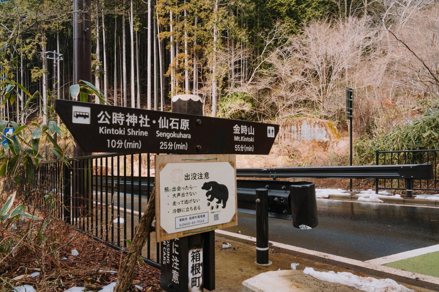
You can also walk 15 minutes on the road from the Sengoku bus stop to reach the trailhead, which is what I ended up doing on the way back since afternoon buses didn’t run as frequently back to Hakone-Yumoto from the shrine bus stop.
Of course, you can also reach the trailhead from other areas in Hakone: Gora, Motohakone, etc, as I showed above. Just keep in mind bus return times and weather as you plan your trip. It’s best to leave early in the morning.
The Kintoki Shrine & the Legendary Kintarō
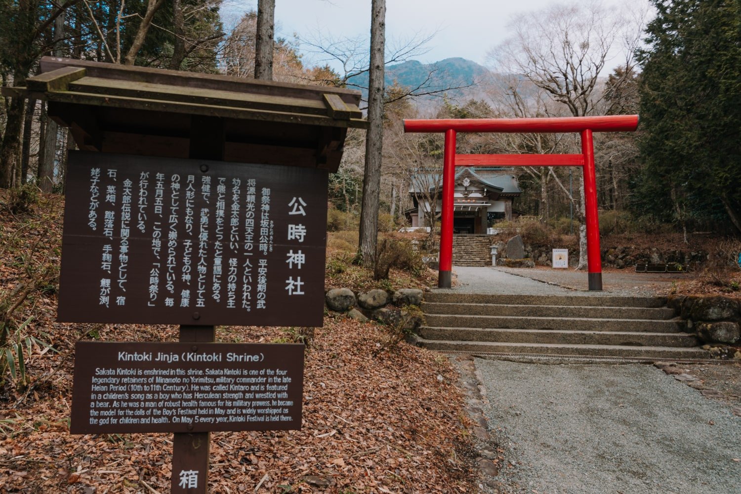
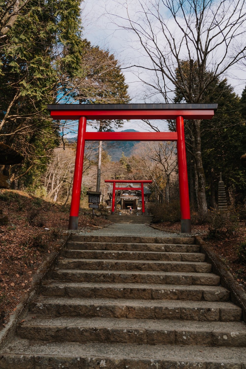
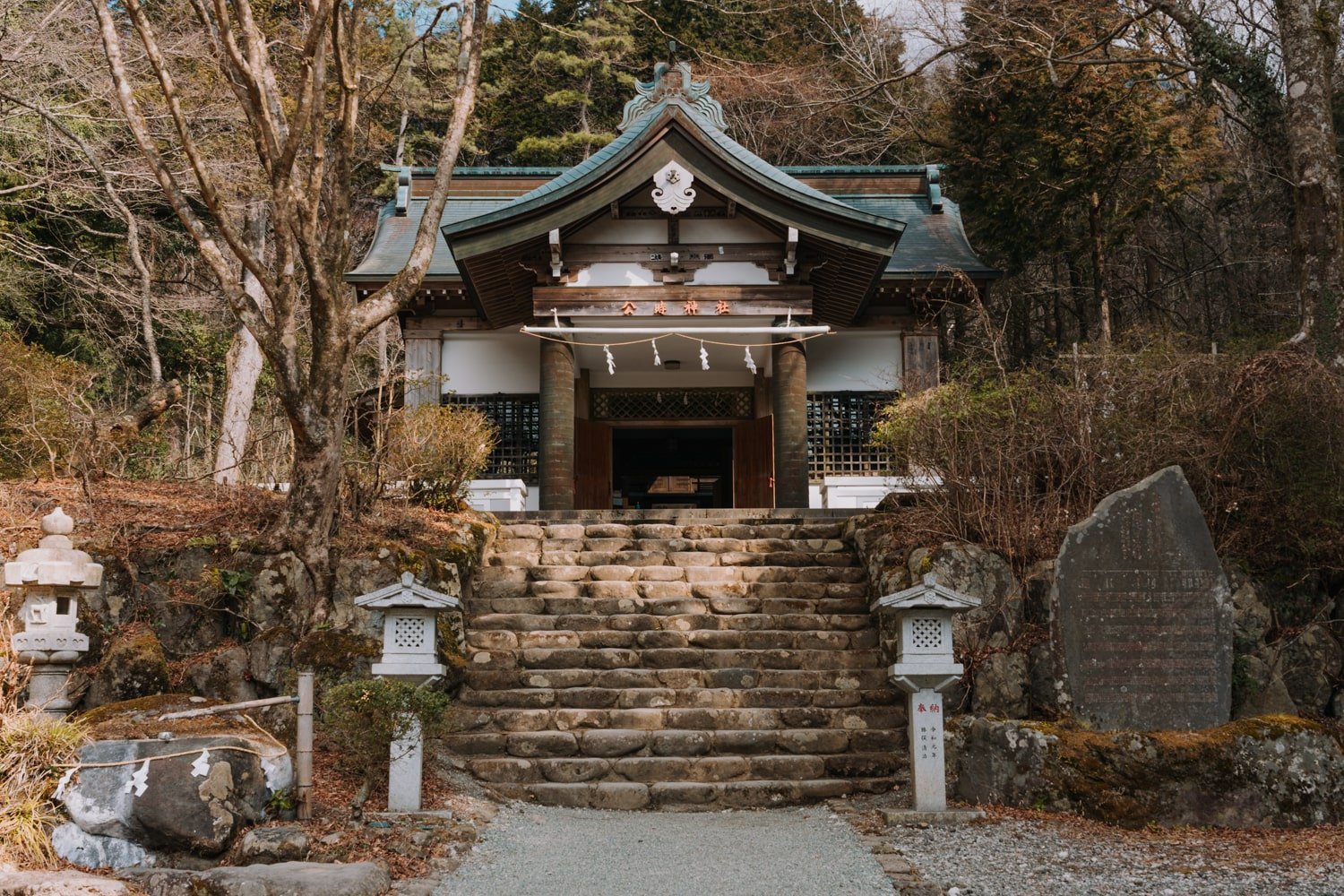
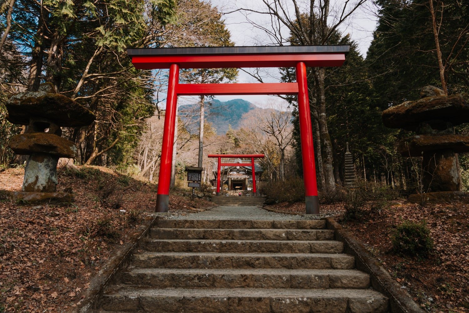
The Kintoki Jinja (Kintoki Shrine) is a Shinto shrine (indicated by the torii gates), and while it is no-frills and quite empty-looking, I found it to be lovely and atmospheric.
There is a sign near the entrance explaining that Sakata no Kintoki—one of the “Four Heavenly Kings” of Minamoto no Yorimitsu in the Heian period (794 to 1185)—is enshrined here.
He became known as Kintarō, the famed “Golden Boy” known to have Herculean strength that did sumo with forest animals.

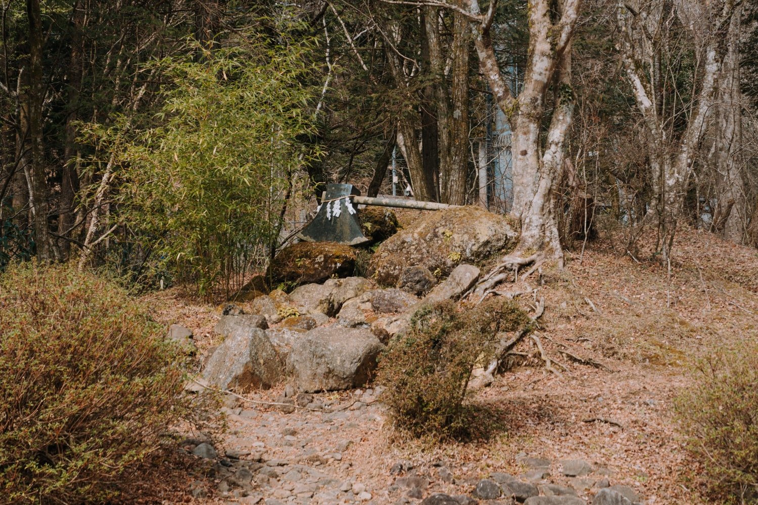
The cartoonish figure is often portrayed yielding an axe and a carp (which he wrestled) and appears in many Japanese folk art, video games, anime, and even candy! He is also the iconic symbol of the Boy’s Festival/Children’s Day (May 5th) and is worshipped as a god for children and health.
With this in mind, keep an eye out for the bear and axe figures that you’ll see near the shrine entrance, and even at the summit!
Mt Kintoki Trail Notes
The trail from the Kintoji Shrine up to the summit is fairly straightforward and well-marked. You’ll start the trail on the right side of the shrine itself.
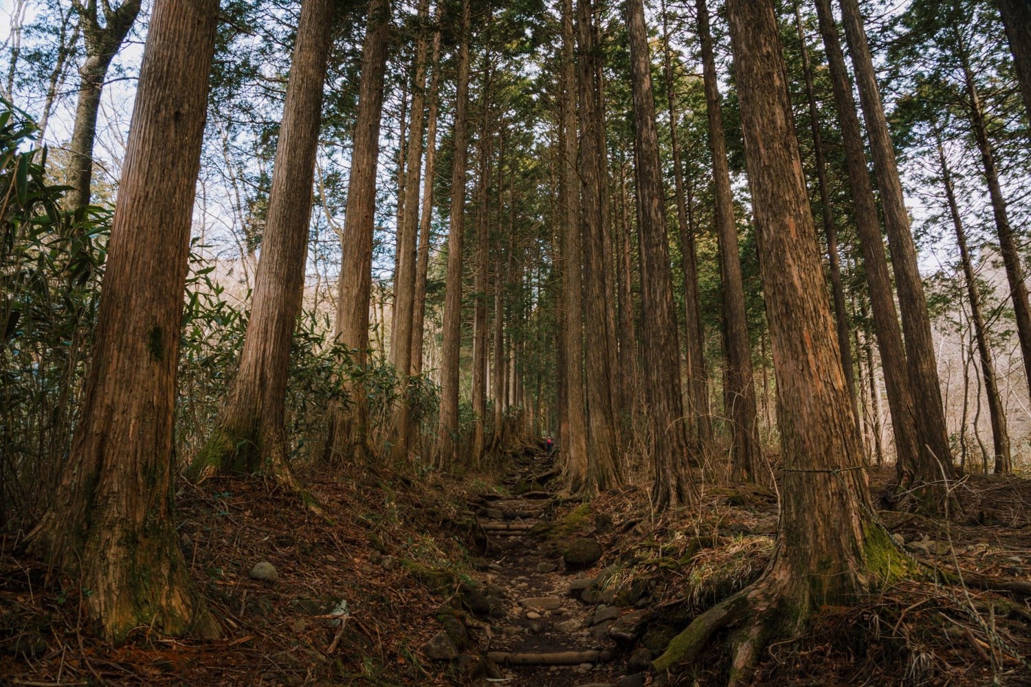
The hike starts gradually framed by two rows of towering forest trees overhead, but prepare for an onslaught of stairs.

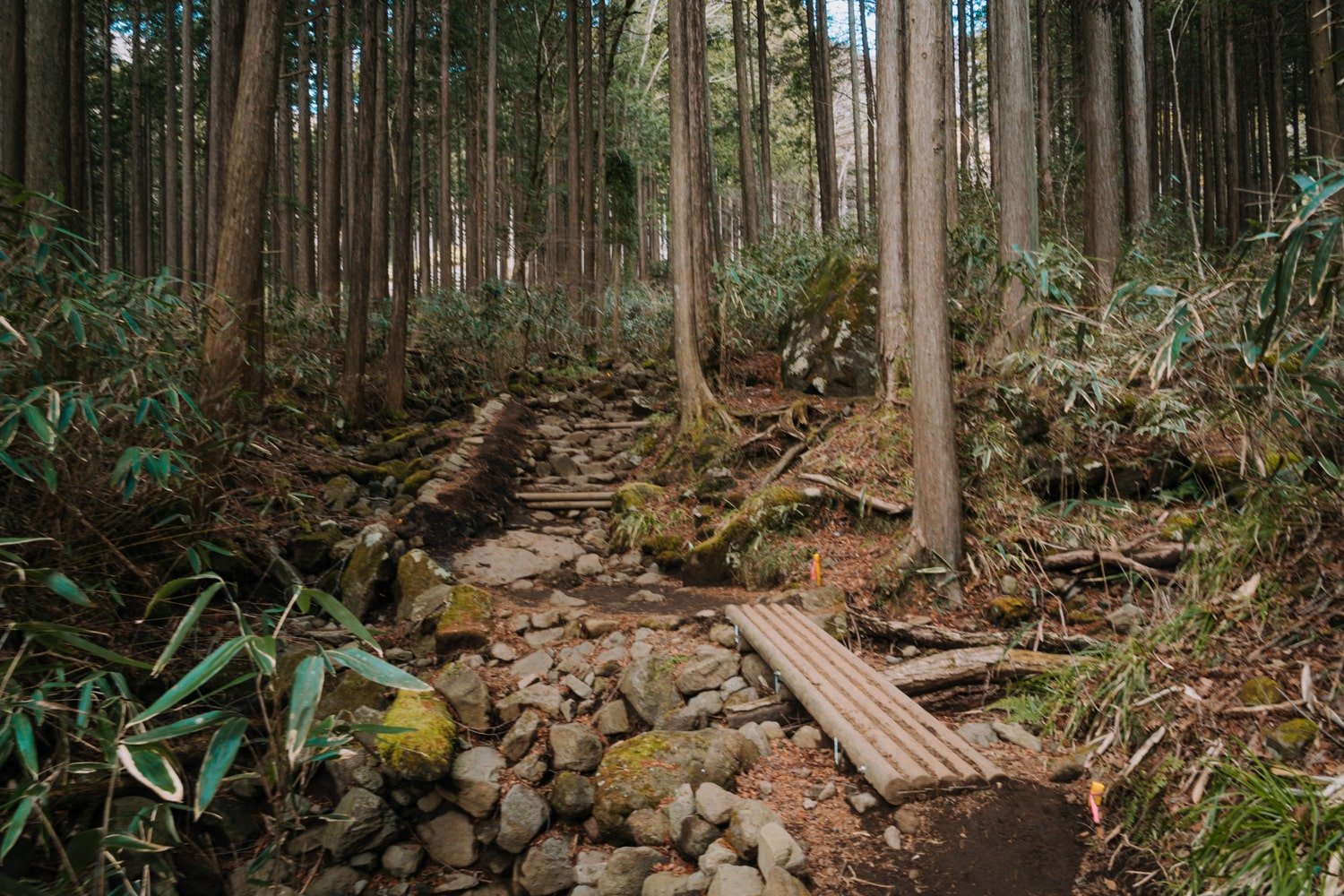
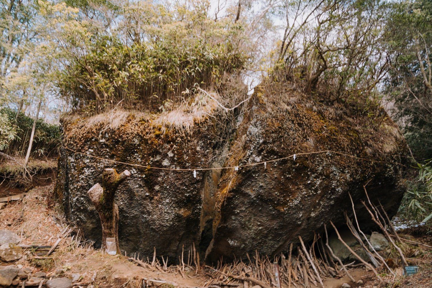
After the first ten minutes, you’ll reach a quick road crossing followed by another section of stairs. Soon, you’ll see a giant boulder that looks like it has been split into two—legend says by Kintarō’s mighty axe!
Flank the boulder to the left, up yet another set of makeshift stairs. After rainfall, this section tends to get muddy and slippery so watch your footing.
When I hiked this trail in mid-February, there was very little snow but there was still some leftover from a heavy snowfall across Japan from the week prior. February weather can change rapidly so keep that in mind as you prepare for this hike!
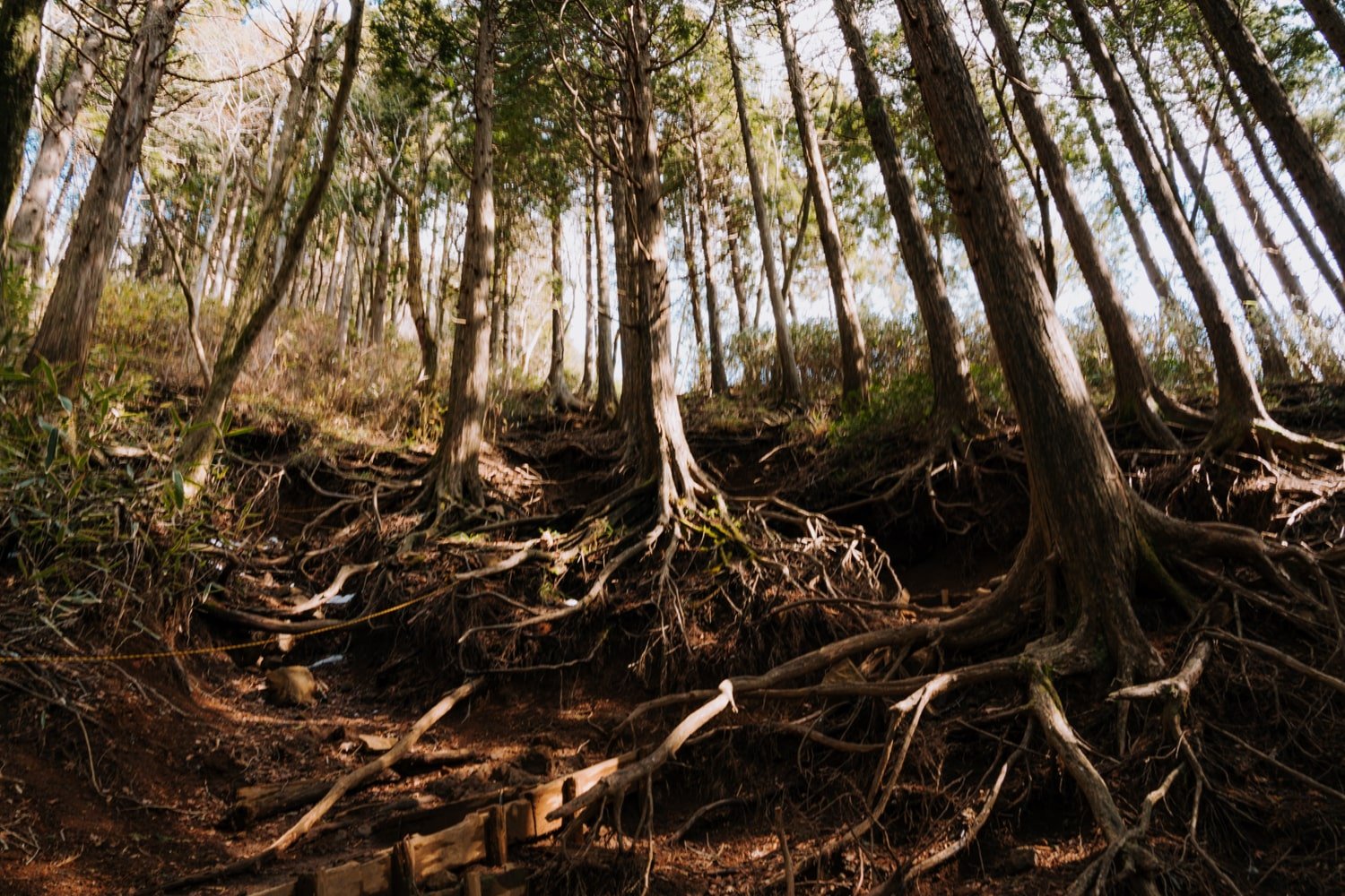
The next half of the trail winds up through the forest which is particularly beautiful when the sun shines through the trees. The tree roots here are exposed and create a pretty (if not spooky) scene.
Another 20-30-minute climb will bring you to the ridge, just below the summit.
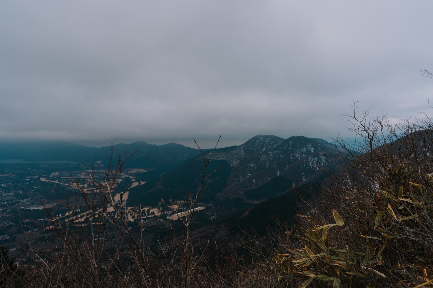
Here, you’ll already have unhampered views across the valley, and, hopefully, of Mt Fuji as well.
Sadly, the day I hiked Mt Kintoki the sun disappeared behind rain clouds and a storm blew in right as I reached the summit!
Around the corner, you’ll see the signpost indicating 20 minutes remaining to reach Kintoki Summit.
The right path will take you back down to Sengokuhara via another route (40 minutes), which you can opt to take on your way back or retrace your steps down to the shrine.
Reaching the Kintoki Summit at 1212m
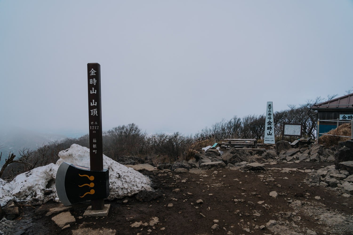
After a final push up a steep, non-stop section of stairs, you’ll reach the Kintoki summit at 1212m!
From here, you’ll have gorgeous views of Mt Fuji (right behind the axe and the white sign).
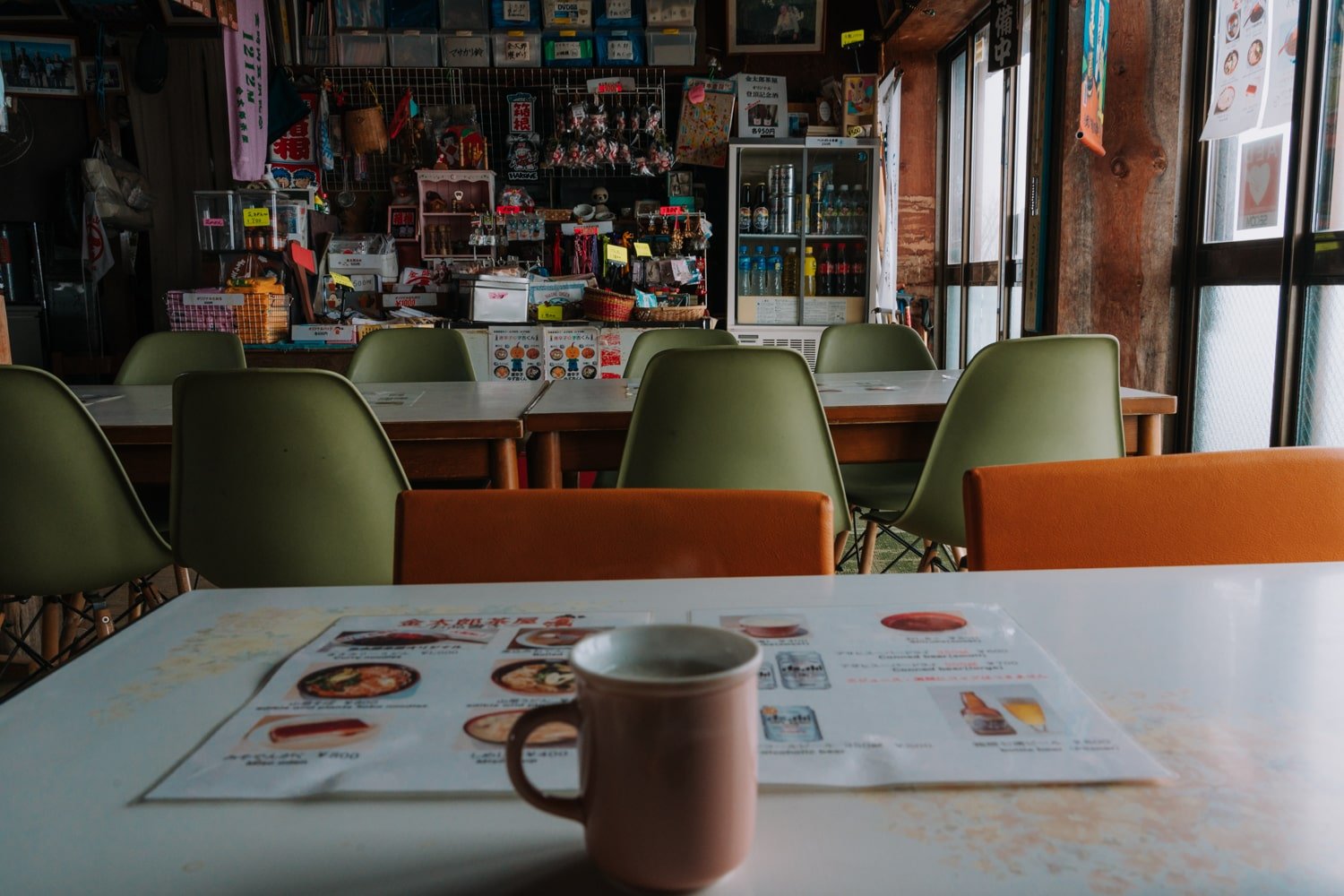
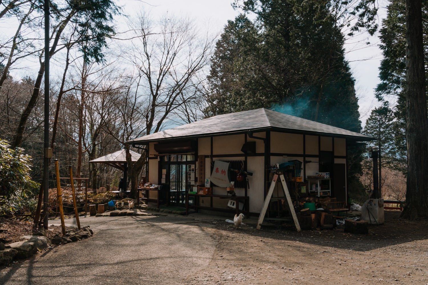
There are public restrooms and a teahouse/hut at the summit. Hikers who wish to take a seat inside the teahouse are required to purchase at least one item from the menu.

You can order either food such as noodles (soba), miso soup, and tofu or just grab a drink (there’s beer, soft drinks, or amazake). Cash only.
I highly recommend you try the amazake (甘酒) which is a sweet, non or low-alcoholic fermented rice drink that is delicious!
The teahouse has items for purchase such as Kintaro souvenirs, shirts, and even little axe pins.
Take a peep at the photos hanging up of the current teahouse owner’s grandmother (who I imagine started it all!). If I spoke Japanese, I would have asked him about the history—so do so if you get the chance!
Since the weather only worsened once I reached the summit, I quickly headed back down the way I came. The descent took me around 45 minutes but was tiresome on my knees. Use a trekking pole or knee brace if you also get pain like me from downhill hikes.
Back at the shrine, you can pay your respects and thank Kintaro and the forest animals for a safe hike!
To get back into town, take the same bus line back the way you came. You may also have to walk on the sidewalk for 10-15 minutes to Sengokuru to catch an earlier bus, depending on what time you finish up.
Finally, the best thing to do after hiking Mt Kintoki is to relax and soothe those muscles with a soak in one of Hakone’s onsens!
<!–
–>
